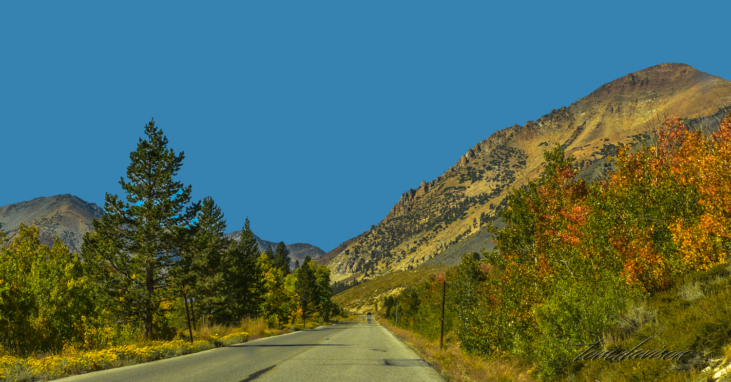
The meadow is located along a dirt road off Highway 120 which goes along Mono Lake. It is a very popular fall foliage location, but more importantly it is a year-round destination for bikers, hikers, snowshoe hiking, campers and equestrian riders. There is a 20 mile loop which is used by bikers in the summer.
We heard about this fall color spot just as it peaked. There is a road to the summit but it requires a 4 wheel drive. Tom explored the road leading to the summit but we decided we had plenty to photograph in the meadow. While the hill was impressive, I felt the real opportunity was in getting some more practice in pano-photography!

Ah, this could be fun!! Road as we approached our destination.
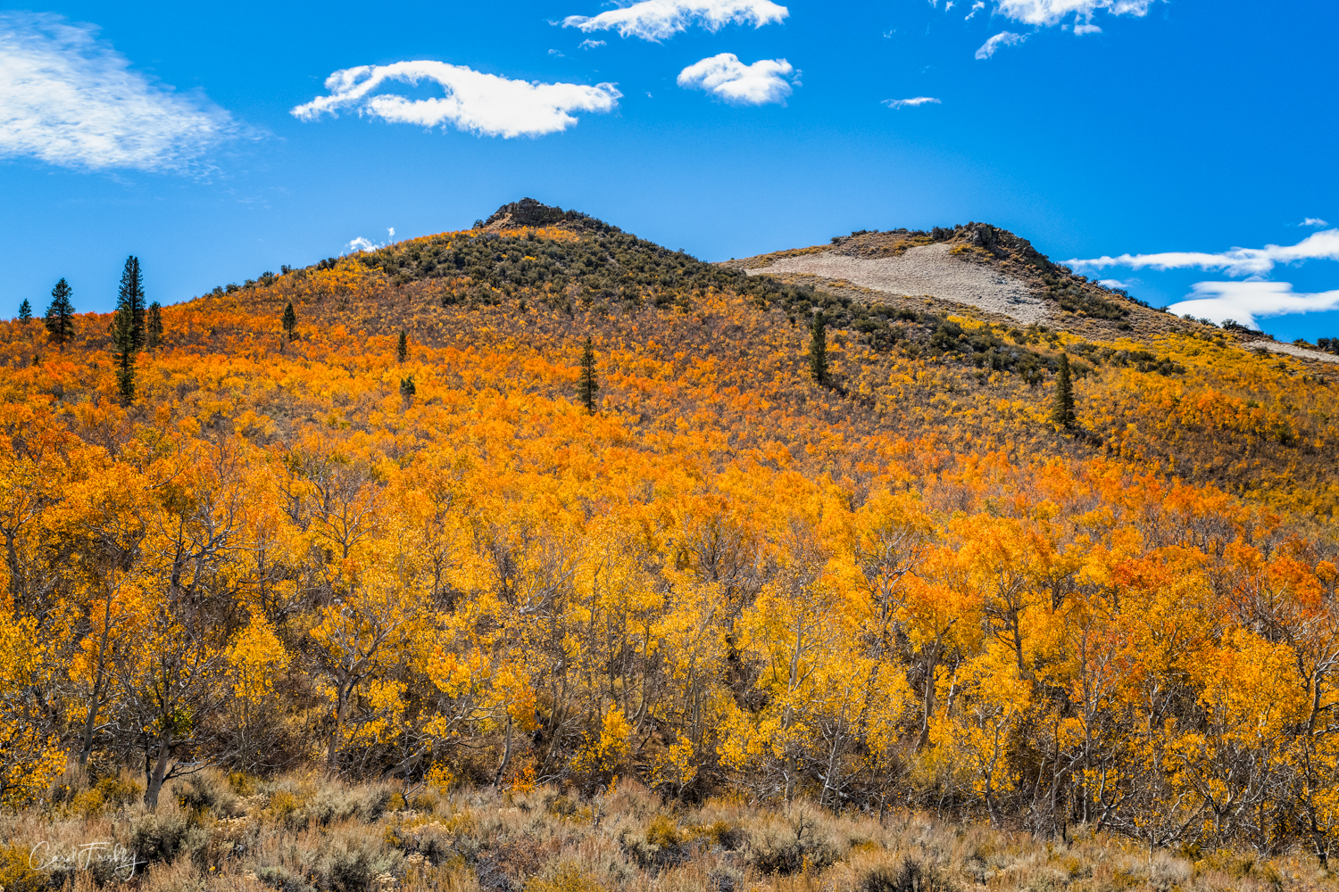
Yep, I would say it is peaked!


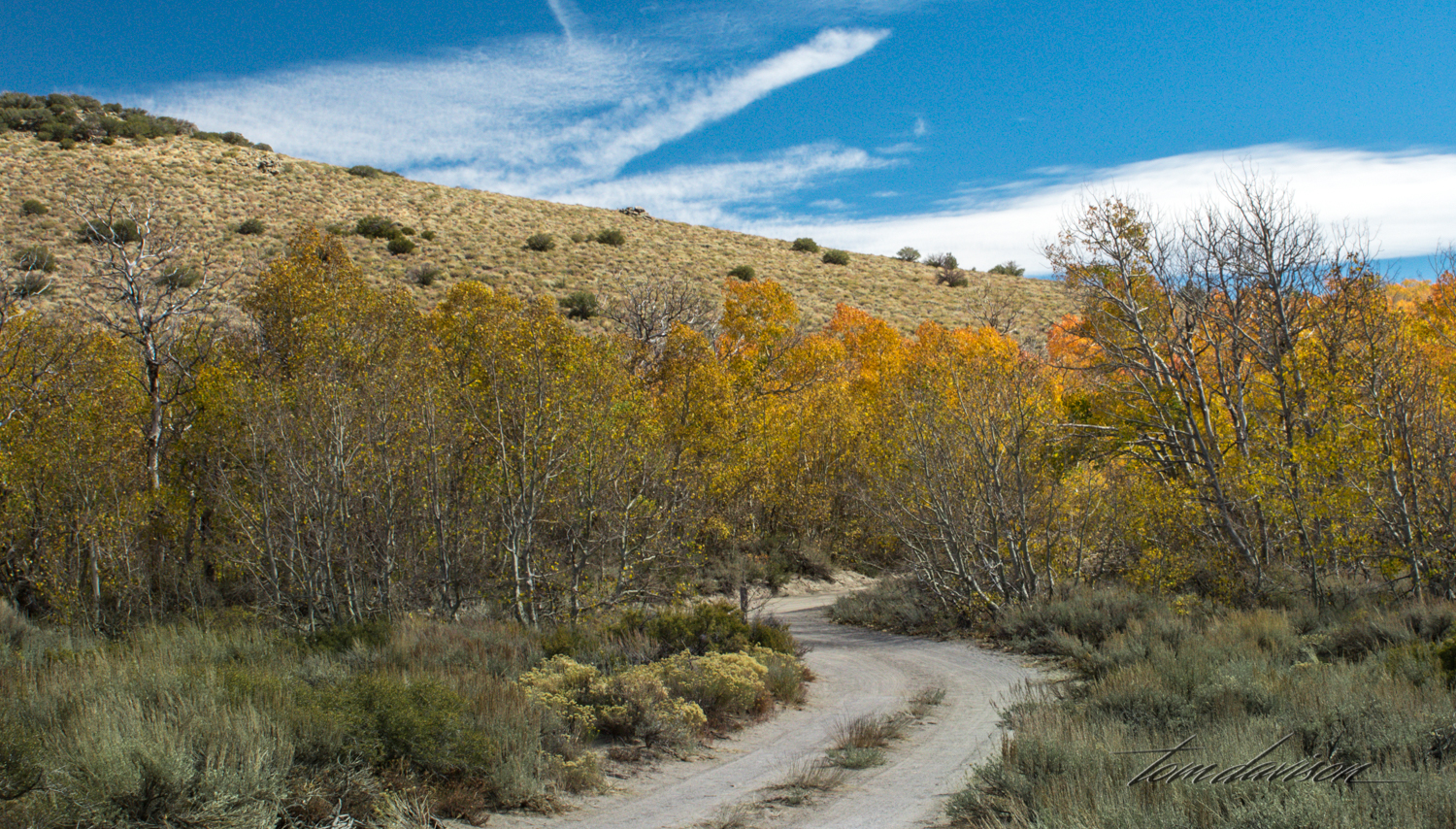
Two image pano.

Two image pano.

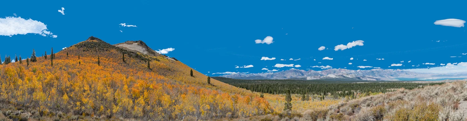
Seven image pano.

Lenticular clouds are commonly seen in this part of the country.


Seven or eight image pano. That is Mono Lake on the right.
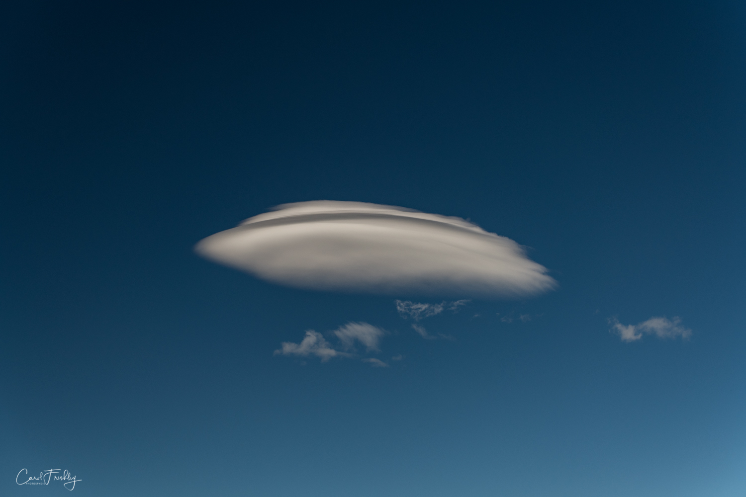
OK! OK! You have hung around long enough! Welcome to our world. Where do you come from?


![Located in the Virginia Lakes area are a resort,[2] pack station,[3] and small community. Virginia Lakes is popular with anglers, hikers, and campers. A trail beginning at Virginia Lakes serves as a gateway to the Sierra backcountry and Yosemite Nat…](https://images.squarespace-cdn.com/content/v1/539e6c0ae4b0fc2344627886/1539079755272-HRHVIUAM69GJTOCK807M/Virginia+Lake-4.jpg)