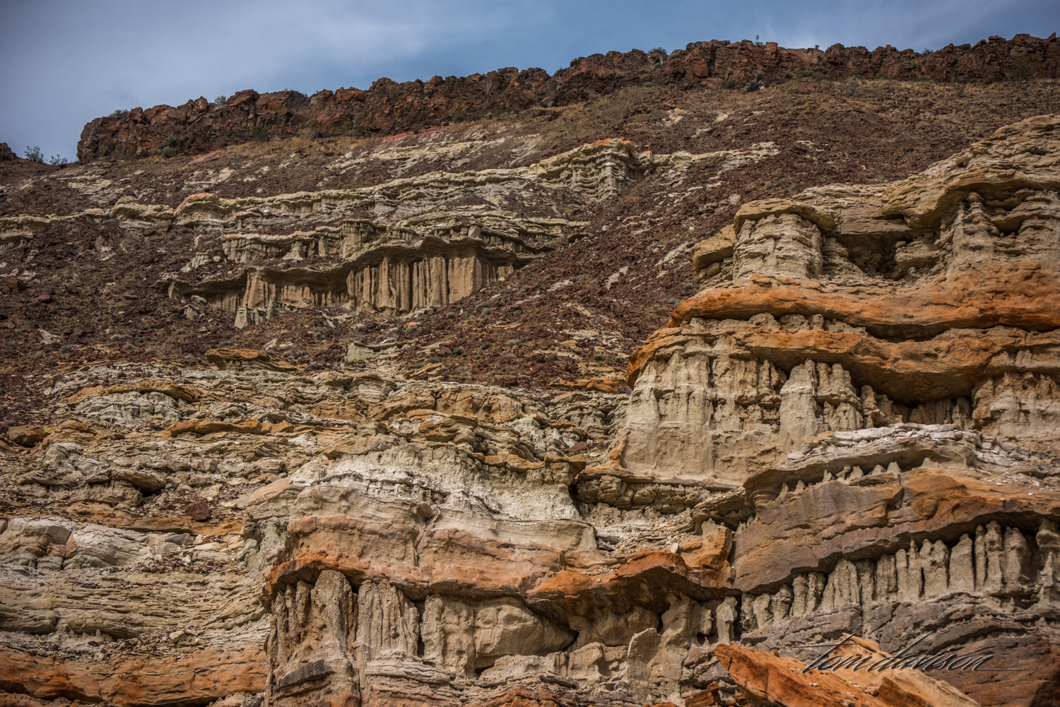
Red Rock Canyon State Park is located where the southernmost tip of the Sierra Nevada converge with the El Paso Range on SR 14. The Natural Museum of Los Angeles provides the following description of the area. "The rocks in the Red Rock Canyon area reveals some of the 500 million-year history of this part of North America. Of greatest interest to the Natural History Museum paleontologists is a nearly mile-thick succession of fossiliferous rocks that geologists call the Dove Spring Formation. These deposits are composed of stream sediments, lake clays, lava flows, and volcanic ashes that were laid down layer by layer in an ancient valley that long ago disappeared. Pressure from successive overlying layers turned the sediments into stone. Pollen, leaves and wood from ancient plants, and the bones of ancient animals were trapped in these sediments and became the fossils we study today. Earthquake movement along a nearby earthquake fault subsequently elevated and tilted the entire area that was once a valley. As uplift slowly progressed, erosion continuously stripped away the hardened deposits. More resistant beds produced the cliffs and badlands that are today found in Red Rock Canyon." It was quite the fun photo-adventure. We hope you enjoy it with us.


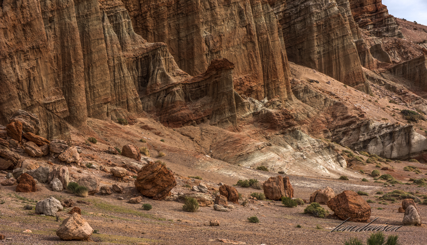
If the thought occurs to you that standing real close to these cliffs may not be the best idea . . . At some point each one of those rocks fell down and who wants to bet when the next one heads down?

I chose not to go so close . . .


Notice the 'No Drone Zone' sign. We see a lot of these now.


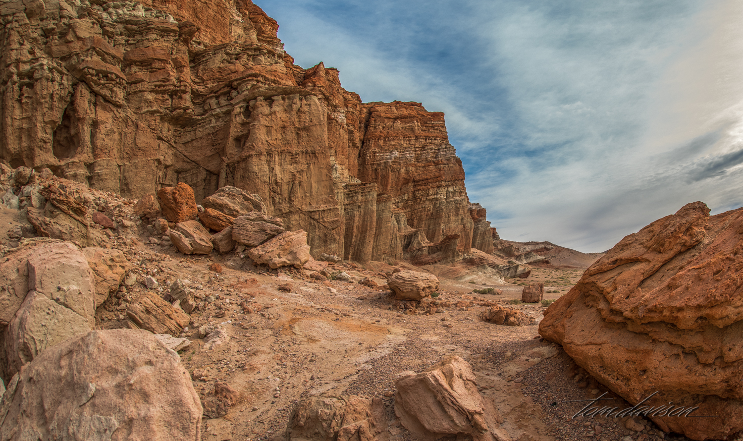
There are two places that are reasonably accessible (meaning short hike). This is the start of the second stop.


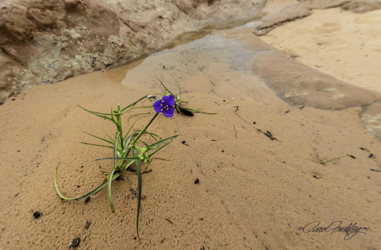
It is spring in the Park and the following images are just a sampling of the flora on the floor. These are tiny plants!