Red Rock Canyon

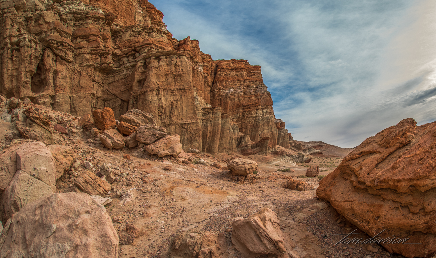
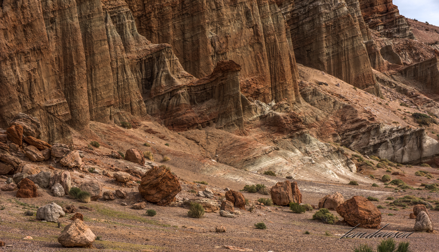
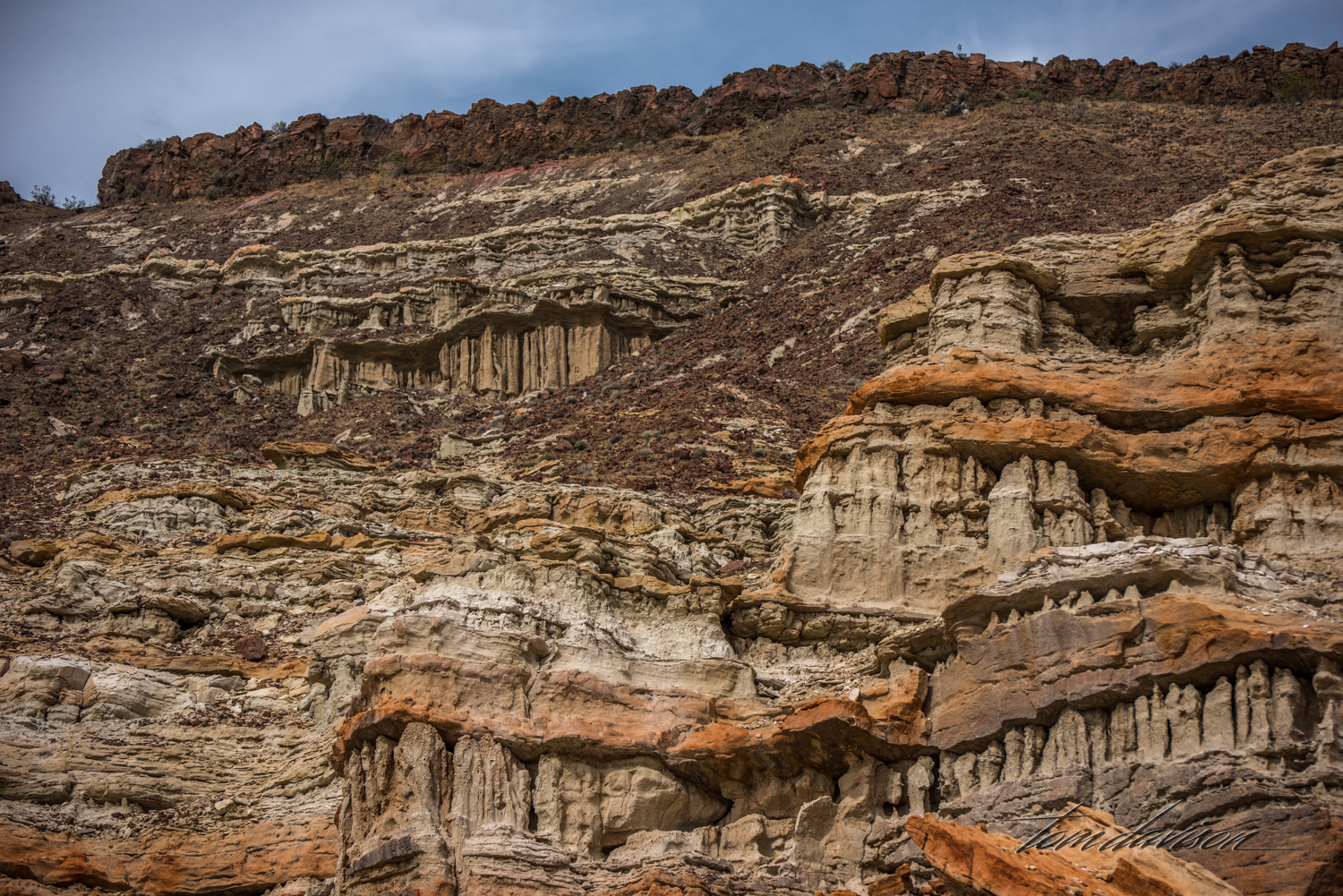
Red Rock Canyon State Park is located where the southernmost tip of the Sierra Nevada converge with the El Paso Range on SR 14. The Natural Museum of Los Angeles provides the following description of the area. "The rocks in the Red Rock Canyon area reveals some of the 500 million-year history of this part of North America. Of greatest interest to the Natural History Museum paleontologists is a nearly mile-thick succession of fossiliferous rocks that geologists call the Dove Spring Formation. These deposits are composed of stream sediments, lake clays, lava flows, and volcanic ashes that were laid down layer by layer in an ancient valley that long ago disappeared. Pressure from successive overlying layers turned the sediments into stone. Pollen, leaves and wood from ancient plants, and the bones of ancient animals were trapped in these sediments and became the fossils we study today. Earthquake movement along a nearby earthquake fault subsequently elevated and tilted the entire area that was once a valley. As uplift slowly progressed, erosion continuously stripped away the hardened deposits. More resistant beds produced the cliffs and badlands that are today found in Red Rock Canyon."  It was quite the fun photo-adventure.  We hope you enjoy it with us.

Red Rock Canyon50.jpg
Red Rock TD-1.jpg
Red Rock TD-5.jpg
Red Rock Canyon51.jpg
Red Rock TD-9.jpg
If the thought occurs to you that standing real close to these cliffs may not be the best idea . . . At some point each one of those rocks fell down and who wants to bet when the next one heads down? 

If the thought occurs to you that standing real close to these cliffs may not be the best idea . . . At some point each one of those rocks fell down and who wants to bet when the next one heads down? 

I chose not to go so close . . . 

I chose not to go so close . . . 

Red Rock TD-10.jpg
Notice the 'No Drone Zone' sign.  We see a lot of these now.

Notice the 'No Drone Zone' sign.  We see a lot of these now.

Red Rock TD-17.jpg
There are two places that are reasonably accessible (meaning short hike).  This is the start of the second stop.

There are two places that are reasonably accessible (meaning short hike).  This is the start of the second stop.

Red Rock TD-18.jpg
Red Rock TD-15.jpg
Red Rock TD-16.jpg
Red Rock TD-24.jpg
Red Rock Canyon55.jpg
Red Rock Canyon56.jpg
Red Rock TD-19.jpg
Red Rock TD-20.jpg
Red Rock TD-21.jpg
Red Rock TD-22.jpg
Red Rock TD-25.jpg
Red Rock TD-23.jpg
Red Rock TD-26.jpg
It is spring in the Park and the following images are just a sampling of the flora on the floor.  These are tiny plants!

It is spring in the Park and the following images are just a sampling of the flora on the floor.  These are tiny plants!

Red Rock Canyon49 copy.jpg
Red Rock Canyon59.jpg
Red Rock Canyon57.jpg

Calaveras Big Trees

This is a state park established in 1931 to protect the North Grove of about 100 mature sequoias.  In addition, the Stanislaus River runs through the park, offering campers and photographers even more to enjoy.  The sequoias here are not as big and impressive as in Sequoia National Park but the we enjoyed the day nonetheless.  There is more of a 'forest' feeling here and the Stanislaus River was a good break from trees!

Big tall trees in a heavily forested area are tough to photograph and provide a sense of scale.  This is a huge cavern and I found it hard to believe the tree was still alive.

The path from the parking lot to the river is designated as an 'accessibility' path, meaning we could walk it with a smile on our face.

There were several benches along the path which was listed as being just a quarter mile, round trip.  My kinda hike!

Often when we are out taking photographs we think about our friends and how nice it would be if they were with us.  So, it was no surprise that in this place the topic of Kati getting her very artistic detailed images came up.  Tom mentioned to Steve that it was not that easy to do and that Kati was VERY good at it.  So, of course, they each gave it a try.  I had to smile because I had already thought of Rick as I had captured a star burst.  At some point, everyone gets thought of as we imagine how much each person would enjoy the opportunities we were experiencing.

Tom loves to play with bubbles.  It is the kid in him!!

Yep, a pretty much one lane and forest dark road.  Let's go home.

On the way home Steve spotted this opportunity by the road.  By the time I could safely pull over he had a bit of a walk back to get this image.

We are so glad you have joined us.

Columbia Historic State Park

Columbia State Historic Park features the largest single collection of existing gold rush-era structures in California.  The structures have become a variety of shops, boutiques, restaurants, ice cream parlors, candy stores, saloons, and a even a tea house.  Volunteer docents are dressed in 1850s era costumes and are strategically stationed to answer questions and watch over the park.  We were fortunate to visit on a day when Halloween was being celebrated and the crowd was having fun, kids were trick-or-treating (docents handed out candy) and the weather was perfect.

The map gives you an idea of just how large the park is and the many structures still open.  Parking is ample and free.  Admission is free!  It is easy to spend a full day here.

Photograph taken early before people began showing up.

The blacksmith's shop is a working shop where visitors can watch horseshoes being hammered into shape.

A docent is stationed in the general store to answer any questions.  I spoke to several docents and they love their volunteer opportunity, meet regularly, become experts on the history and significance of early gold mines in California and are happy to see people at the park.  This gentleman was proud to dust and keep the store properly arranged.  He said he was always looking for the right items to add to the store, changing up the inventory just like the original proprietor would have done.

He played for hours.  The sound of his whistle carried a long way down the main street.

I believe this image was taken inside the tea house.  There was a significant Chinese population in many mining camps and discrimination against them was common.  Rooms such as this one had interpretive signs to help visitors better understand mining what life might have been like in a mining camp in the 1850s.

A young trick-or-treater waiting in line.

Docents strolling the main street and greeting visitors.

It appears that there is still activity in the theater.

You can go inside, dress up in 1850s period clothing and have your photograph taken.  It was a popular place!

You have to admit there is a sense of style going on here!

There were two very old fire engines in town.  One is still being used.  Fires were a real problem in early mining camps and it was not unusual to have a fire devastate a whole mining camp every couple of years.  Getting fire fighting equipment and building more permanent brick structures was a big step in creating a permanent and stable community.

On the old fire truck.  The fire department is manned by volunteers.

They were happy to be photographed.

Inside peek at the blacksmith's working area.

Another view of the interior of the tea house.

Hmmmm . . . maybe one and the same!

I was fascinated by her hat.  She was a docent handing out candy.

Boy or girl?

Studebaker got its start making wagons.

'Ouch' by the end of the day.

The road to Columbia was almost a trip of its own.  We passed a sign indicating that Mark Twain's cabin was about a half mile up the hill.  So, up we went.  We are staying just outside of Angels Camp, home of the Calaveras Jumping Frog.  Mark Twain's first successful short story was about the Calaveras frog.  The cabin was rebuilt on the site and it is surrounded by a fence.

We drove over both bridges on New Melones Lake as we took a loop route to and from Angels Camp.

Of course, there are always the road photographs.

New Melones Lake