Marshall Point Lighthouse

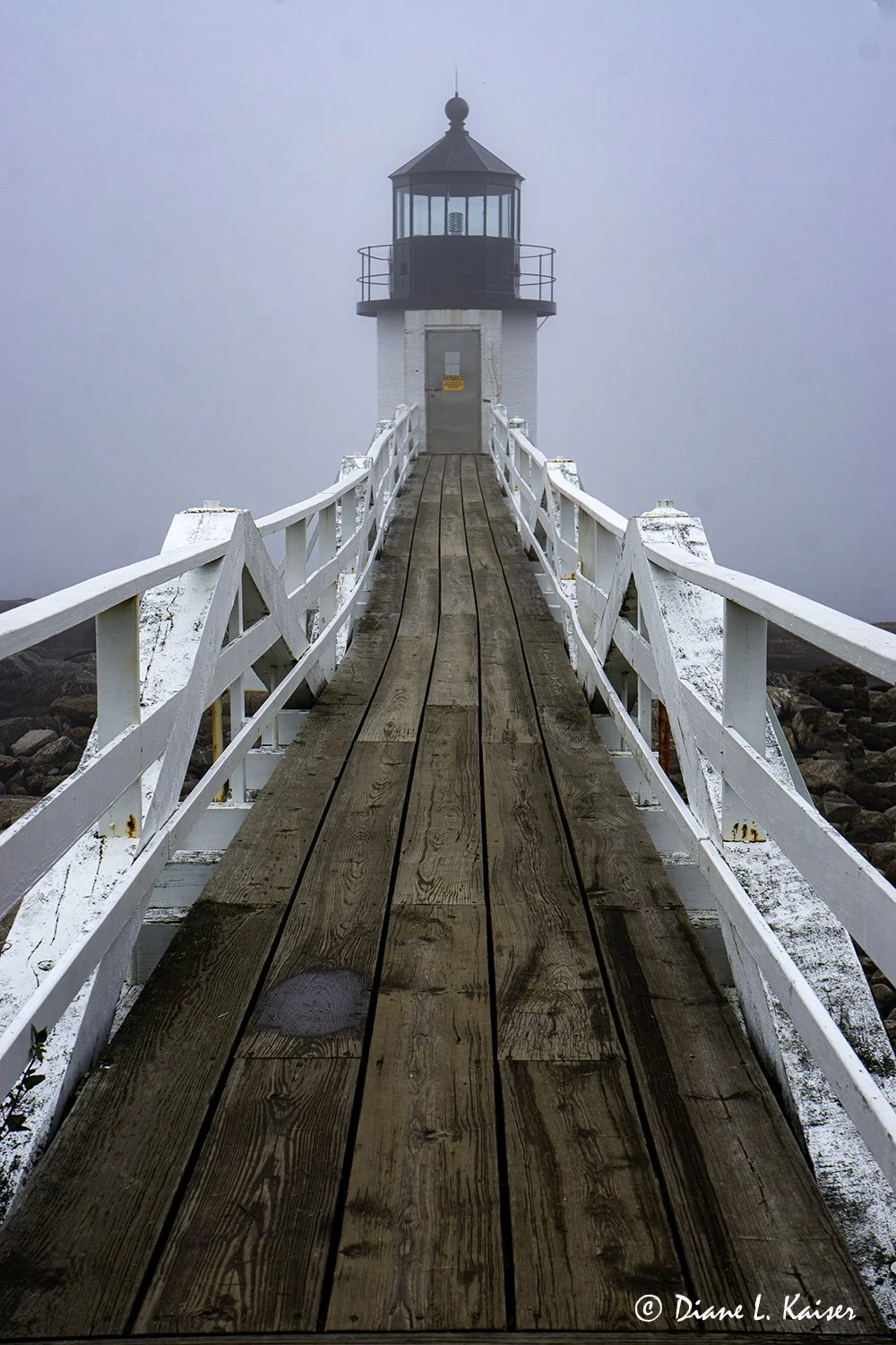
This well know lighthouse is located near the fishing village of Port Clyde. It is owned by the town of St. George. A very informative museum and shop is located in what was the keeper’s house. It is filled with historical information and life in general in a fishing village. The lighthouse gained some fame in the movie Forest Gump where Tom Hank’s character concludes his cross-country run on Marshall Point Lighthouse’s distinctive wooden runway.

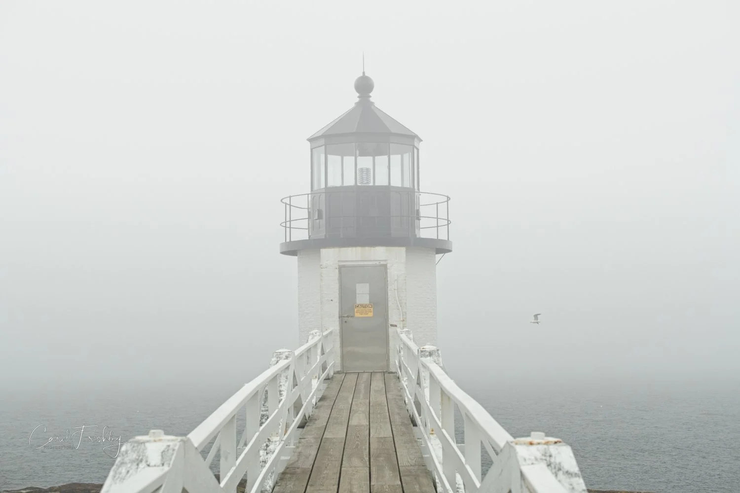
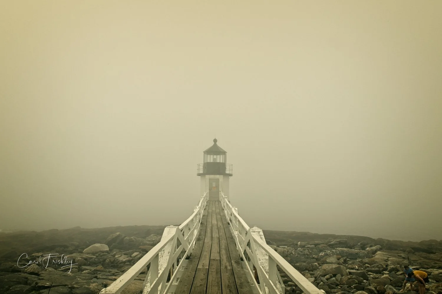
We drove to the lighthouse from Camden, all the way hoping the fog would not be too bad or would lift entirely. Maybe not too bad and it never lifted. Such can be the nature of photography on the coastline of central Maine! This is the view that you would see on a foggy morning if you were on the porch of the house leaning way over the right railing (to line up with the center of the runway).

The museum is located on the first floor. Notice the wonderful flowers!

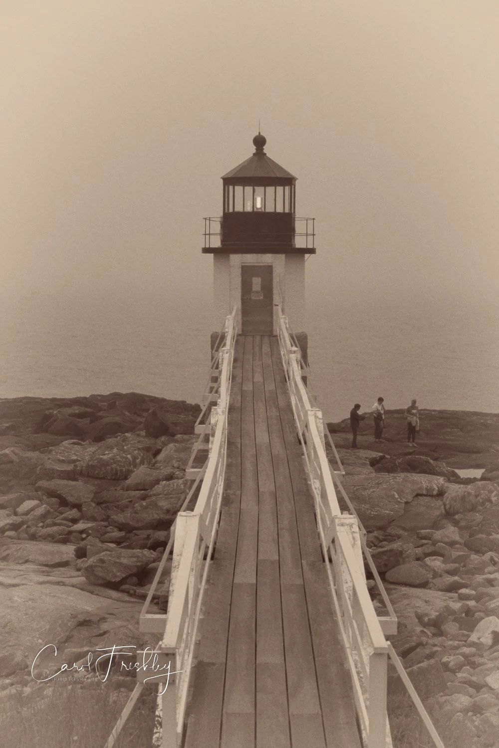
This simple image just begs to be developed with some artistic color or texture treatment. For the purist, please see the first post!

This was taken about half way down the runway. Hard to imagine, but the light was lit. Dense fog is one reason a foghorn was used to help guide sailors. Today, a captain at see can dial up a special number and the foghorn will sound every 15 seconds for 15 minutes. The gentleman in the museum set it off for us and says it is probably used for for tourists than captains at sea.

I was hopeful that the fog would lift even more than this. There is actually an island across from the lighthouse, testimony to the narrow channel seafarers had to navigate.

Are you ready to watch this movie, maybe even again?

Just down from. the start of the runway was the lovely collection of tiny bright yellow flowers.

This is one of a series of beautiful quilts designed by the late Janice Tate. They were sold at the annual fund raising bazaar of the Port Clyde Baptist Church. Ladies of the church’s sewing circle appliquéd and embroidered the quilts and helped Janice with the final assembly. Local resident, Philipine Van Zwoll observed that the quilts being purchased were being taken from the area. She felt that at least one of them should stay in the community. In 1992 the quilt as made and she purchased this quilt for $2,200. One the occasion of Janice Tate’s birthday, Philippine generously presented it to the Marshall Point Lighthouse and Museum.

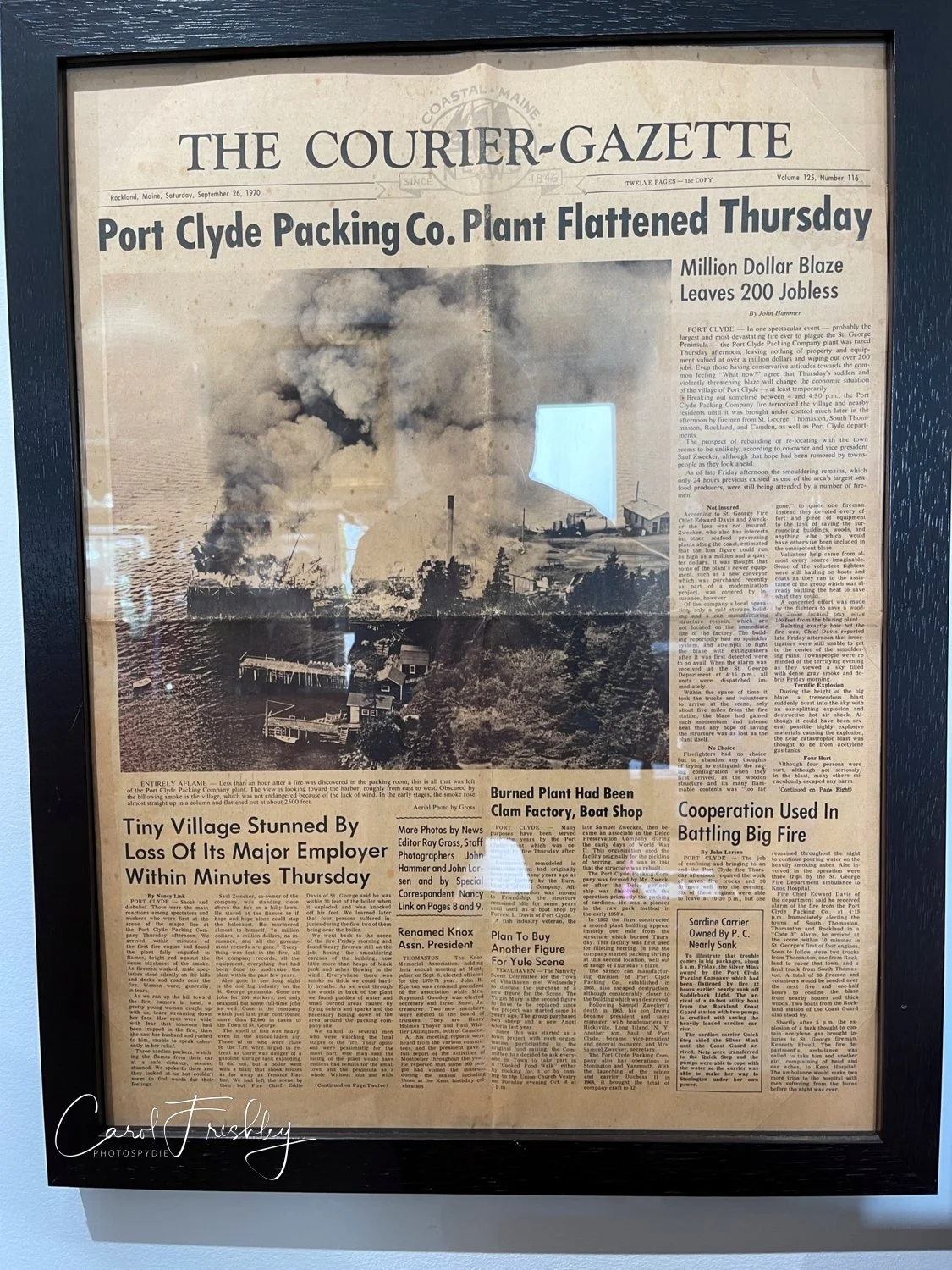
I love reading old newspapers. This one certainly covers an important part of the local history!

Love these curtains!

Each lobsterman has his own registered buoy. Whenever we looked around our schooner we saw many different buoys floating above lobster traps. A lobsterman dare not pull up traps that are not his own - has led to violence!

This is an 1859 photograph of the original keeper’s home and the new Marshall Point Lighthouse. It is the earliest known photograph of the facility. The original tower was probably located where the man on the right was standing and was connected to the home. Congress appropriated funds for the construction of this new tower in 1857. It was built with better materials than the original and was equipped with a 5th order Fresnel lens, which required only a single lamp. The original house was 46 feet long and 20 feet wide. The house was renovated in 1879 but then was extensively damaged by lightning in 1895. It was torn down and replaced with the present home that same year.

This type of anchor is still used on many sailing boats today.

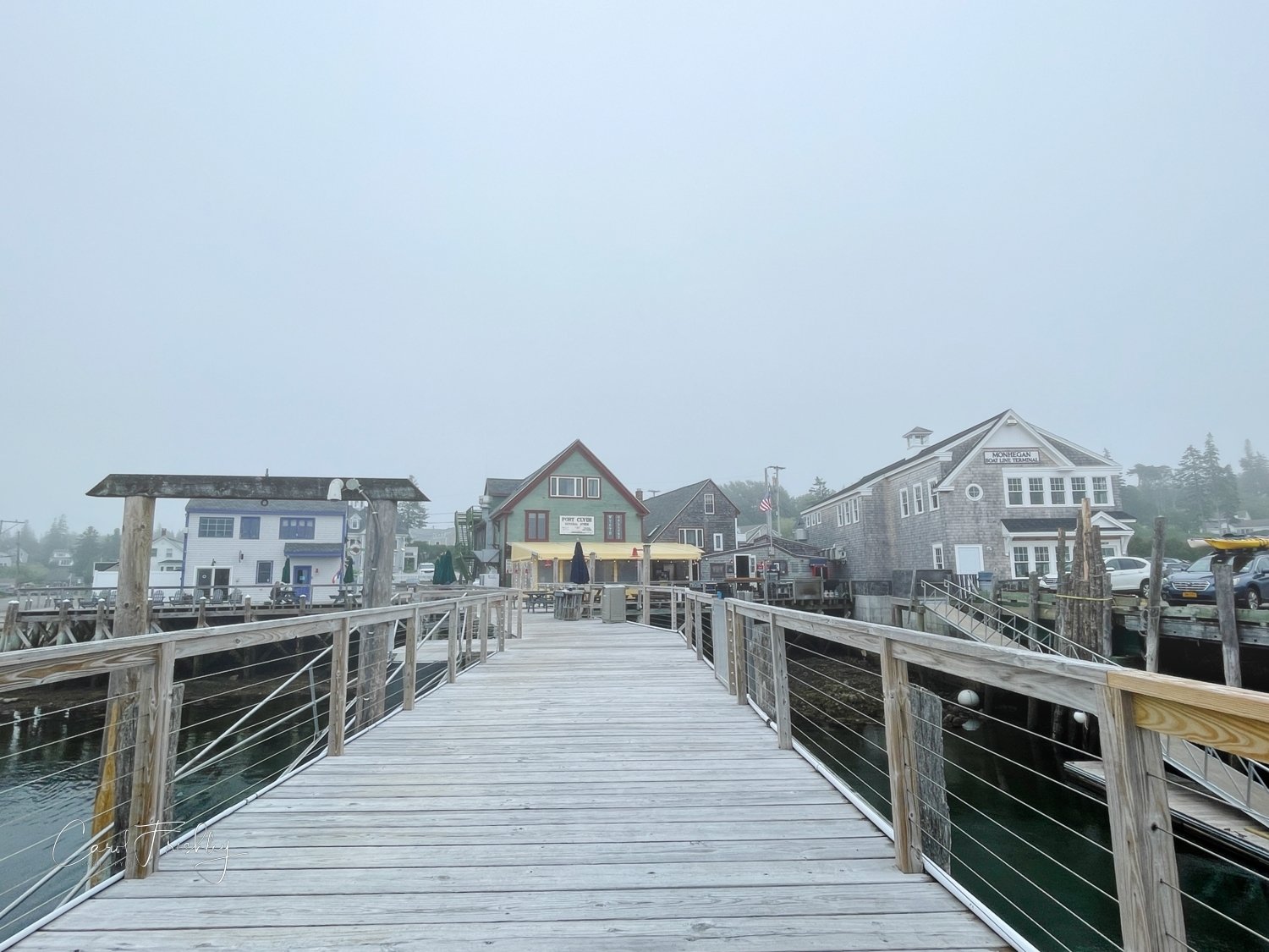
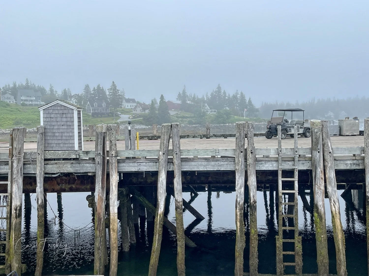
After leaving the lighthouse we drove into Port Clyde. The fog continued to hang around!

This was a great way to end our Maine trip. There will be more photos shared in posts upcoming.
Todd's Cancun Vacation

Rick sent this along with the photographs.  "Just returned from an 8-day visit to Cancun, Mexico. We stayed at the all-inclusive Barcelo Maya Resort, which is about 1 ½ hours south of Cancun. Took a one day trip to Cozumel by ferry where we visited the Chankanaab Park for some snorkeling in amazingly clear waters then down to Punta Sur lighthouse on the southern coast. The most amazing part of the trip was the visit to the Tulum Archeological ruins of the Mayan Indians."

This was the view from their hotel room.  Why was I not invited?  Magical!

This was the view from their hotel room.  Why was I not invited?  Magical!

A view from the lobby.

A view from the lobby.

Whoa!  Drips, water droplets, stopped action . . . this is the dolphin show at the resort.  I went back and checked the metadata.  He took this at 1/1000.

Whoa!  Drips, water droplets, stopped action . . . this is the dolphin show at the resort.  I went back and checked the metadata.  He took this at 1/1000.

This is the Chankanaab Resort Park in Cozumel.

This is the Chankanaab Resort Park in Cozumel.

The Punta Sur Lighthouse in Cozumel.

The Punta Sur Lighthouse in Cozumel.

View from top of Punta Sur Lighthouse in Cozumel

View from top of Punta Sur Lighthouse in Cozumel

Sunset leaving Cozumel Ferry pier

Sunset leaving Cozumel Ferry pier

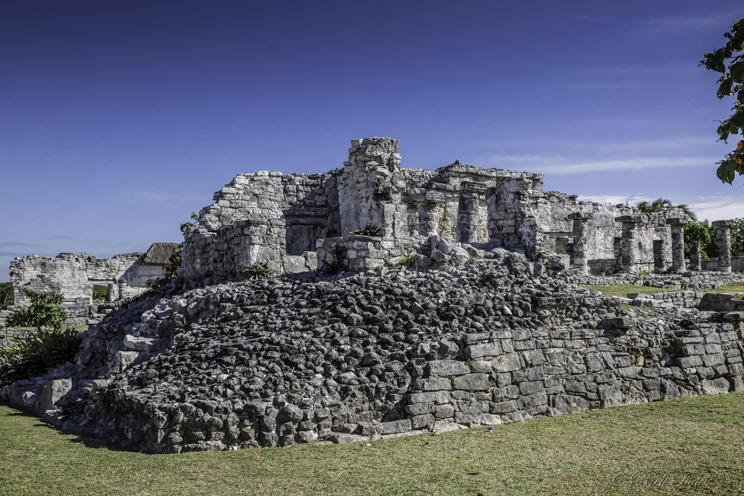
"The walled city of Tulum was one of the last to be built by the Mayans, and its archaeological sites are incredibly well preserved. The ruins are situated on 12-meter (39 ft) tall cliffs along the east coast of the Yucatán Peninsula on the Caribbean Sea in the state of Quintana Roo, Mexico. Tulum was one of the last cities built and inhabited by the Maya around the 6th century and was at its height between the 13th and 15th centuries. During the peak it’s population was around 1600 occupants. The Tulum site was formally known by the name Zama, meaning City of Dawn, because it faces the sunrise. Tulum is also the Yucatan Mayan word for fence, wall or trench. The walls surrounding the site allowed the Tulum fort to be defended against invasions. Tulum had access to both land and sea trade routes, making it an important trade hub, especially for obsidian (volcanic glass)."

Tulum Mayan Ruins

Tulum Mayan Ruins

Tulum Mayan Ruins

Tulum Mayan Ruins

Tulum Mayan Ruins

Tulum Mayan Ruins

Tulum Mayan Ruins

Tulum Mayan Ruins

View from Tulum Mayan Ruins

View from Tulum Mayan Ruins

Tulum Mayan Ruins

Tulum Mayan Ruins

Tulum Mayan Ruins

Tulum Mayan Ruins

Tulum Mayan Ruins

Tulum Mayan Ruins

Tulum Mayan Ruins

Tulum Mayan Ruins

Christmas lights at Barcelo Maya Palace Resort

Christmas lights at Barcelo Maya Palace Resort

Wow!  What a vacation.  Now I want to go.  Thanks so very much for sharing.

Seal Rock Beach and Two Lighthouses

Our fifth week anniversary found us leaving Newport and heading south along Oregon's coast . . . again!  First stop was at Seal Rock Beach.  No seals, but plenty of photo opportunities.


Two people walking along beach give you an idea of the rocks' size.

We then headed south to Heceta Head Lighthouse, one of Oregon's 9 coastal lighthouses.  This lighthouse has a 56 foot tower that sits 205 feet above the ocean. Built in 1894, its now automated electrical beacon can be seen 21 miles offshore (its light only limited by the curvature of the earth)! You can tour the lighthouse for free under the careful supervision of volunteers who take up very small groups at one time. The lighthouse underwent major repair and renovation in 2011 and 2012 and just re-opend in the spring of this year.

Photography inside is allowed.  Space is really cramped and since we were part of a group we were moved along.  Setting up a tripod was almost impossible.


The lighthouse is still a working part of Oregon's sea navigation.  When we got to the top we could see up into the rotating light. Its 1,000 watt quartz bulb is amplified by a 392 prism Fresnel lens.  Each lighthouse has its own signature and in Heceta's case this is a 10 second cyle of light. The following image is the best I could do in a very small space, looking up and waiting for the opening to rotate around.

After our tour Tom headed up the hill behind the lighthouse. He came back with a different perspective.

The original lighthouse keeper's house has been torn down but the assistant's duplex remains and can now be reserved as a bed and breakfast.  A woman whose family comes every year to stay there was telling a group that the 7 course breakfast buffet was just to die for.  The B&B operation is contracted out by the Forest Service and the volunteers thought it would run about $200 a night.  Not bad!

We then went to the Umpqua River Lighthouse.  What a difference.  It is part of housing for Coast Guard families and the Department of Homeland Security has it behind a double fence with warning signs everywhere. Difficult to photograph, to say the least.  This lighthouse is very similar to Heceta Head Lighthouse and both were built in 1894.  This one overlooks sand dunes that run about 50 miles along the coast from Newport to Coos Bay.  It has its own distinctive signature consisting of alternating white and red light beams. We did not go inside this one but tours can be arranged.

To eliminate the signs, I hung my camera right over the edge of the first fence and sign.  The disadvantage is that there is more distortion of the building.

A young woman stopped and told us to stay until after sunset as the lighthouse made for some real good photography then.  She was the lighthouse 'keeper' so we took her word for it.  Sure enough, photographers started showing up at sunset.  The draw here is not only the light, but that as it rotates it puts these eerie light patterns moving across the nearby trees and you can see the light beams.  I tried for a long time to capture that phenomena but we would have had to wait until it was much darker to see them clearly.  We were tired and 20 miles from Coos Bay so we did not stay.

The lighthouse looks nice in golden light.  Sunset wasn't bad.


Here you go Anden.  Just for you.  If you look very carefully you can see a light up in the trees.  It would surely appear more brightly as the sky gets darker.  Imagine that moving across 


We are in Coos Bay for the day.  I am sure we will find something to shoot!!!

Wishing each and everyone of you a great day.