"Where do you want to go today?" Hmmm . . . "How about a side road?" So, we checked a map!! A dirt road leading to Gunner Pond? How can you go wrong with a name like that. Plus, it loops around to Barkshead Recreation before getting back on pavement!! We were in! Turned into a very nice day, albeit a bit longer than we expected. We could see just a bit of fall color, just enough to keep us parked in the area. The loop we drove is part of the Ozark St. Francis National Forest.

The directions to Gunner Pond indicated the parking area for the pond was before the bridge. We could not see anything but the bridge, which by itself was a pretty good subject.
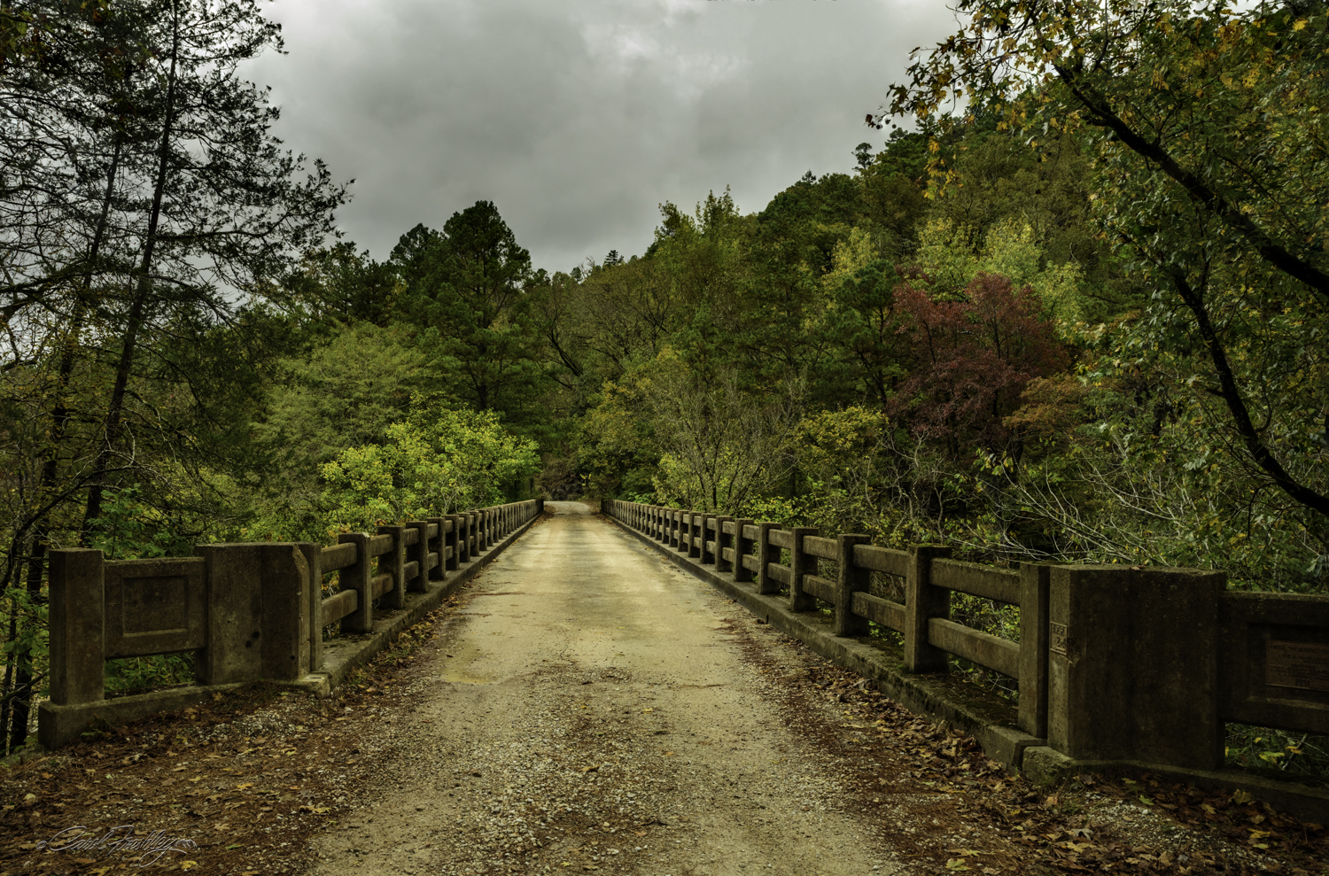
We parked on the other end, out of sight. This is your classic down the middle, documentary (one lane), and boring . . .

From the bridge above we could see a creek. Gunner Pond has to be close. Right?

We found it!


This brick dam, built by the CCC is what creates Gunner Pond.

Back on the road.


We arrived at the Barkshead Recreation area. There are a few camping sites in the area and a low bridge that crosses the North Sylamore Creek, part of the National Wild and Scenic River system. We first headed for a taller, but now abandoned bridge nearby, to get an idea of what the opportunities were. This is looking right from the bridge down into the creek. There are a number of interesting cliff-like overhangs. Just look at that clear water!

Looking to the left.

Looking straight ahead! Ann, we found a trail for you! Cripple Turkey is about an apt description for what would happen to me if I took the hike and it would not take 94 miles!!
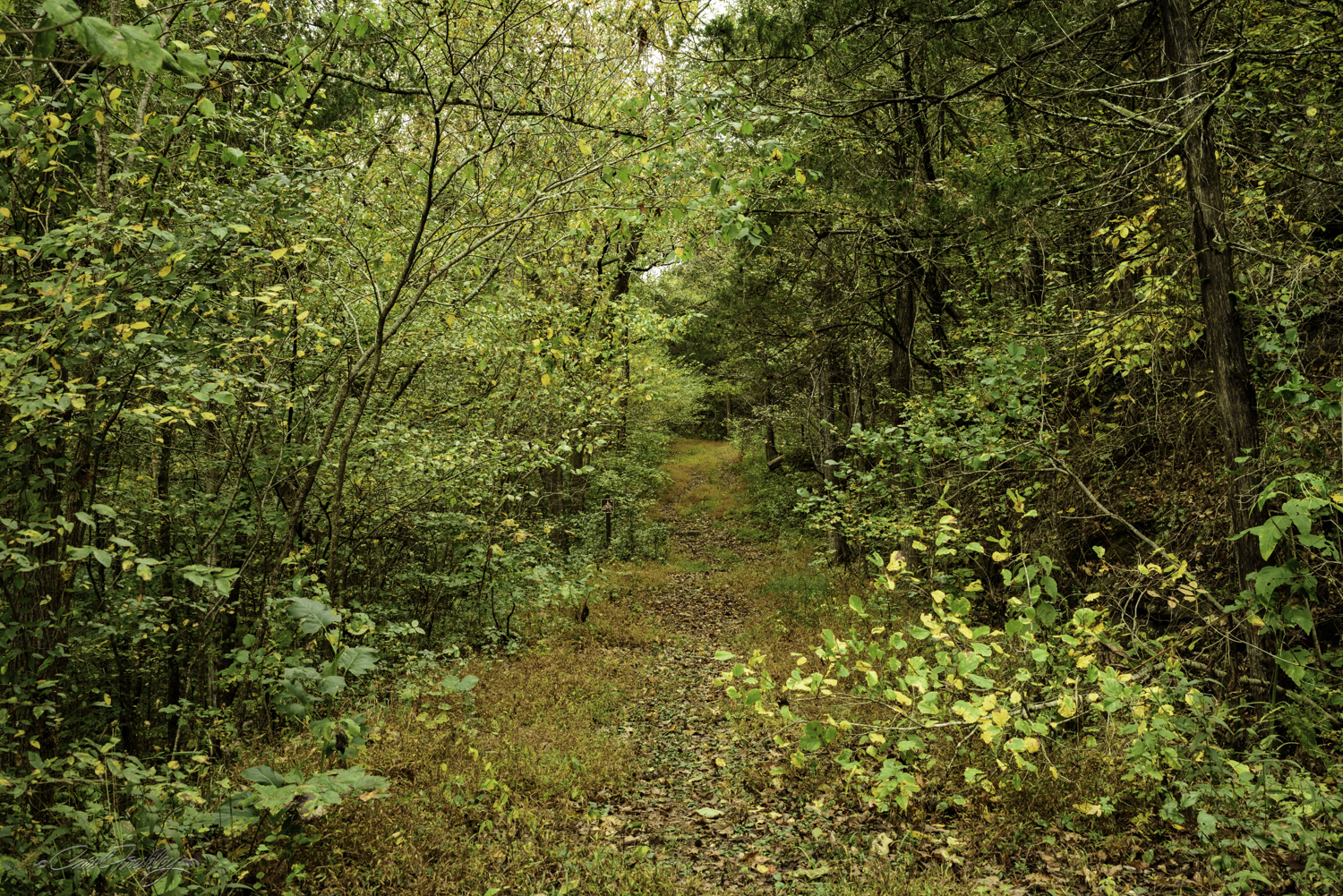
The start of the trail. Lovely. Almost tempting. We ran into a couple just starting the trail and they said they hiked it annually on their anniversary weekend. They were packed to spend several nights and were hoping the rain would hold off until their return. It didn't. We also saw two hunters head down the trail. They were equipped with all the usual garb but were only carrying some impressive looking bows, no riffles.
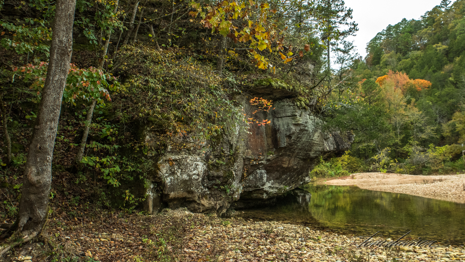
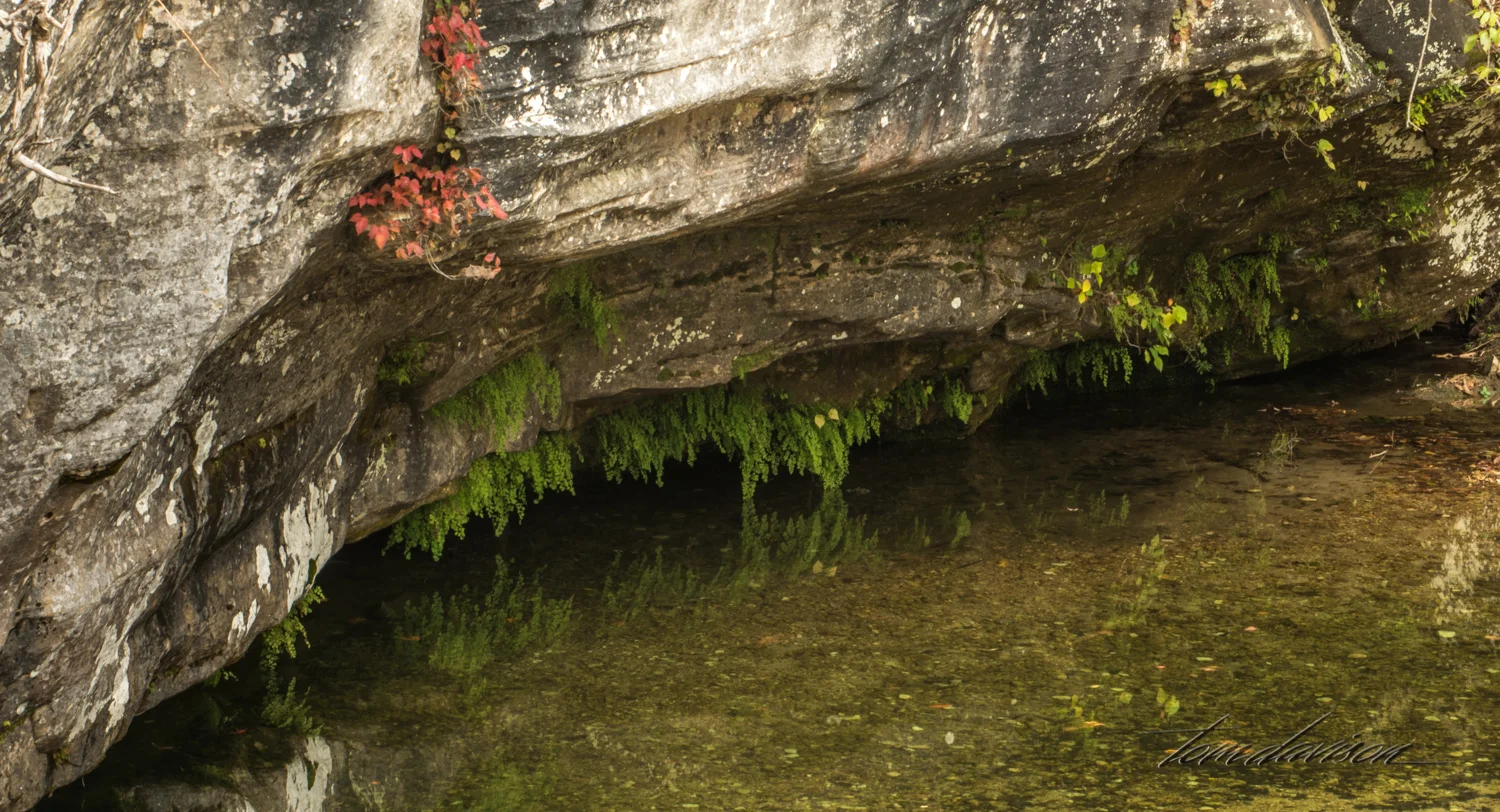
We descended from the bridge and headed to the left side, mainly because that side had easier access to the beach area. This one large rock provided lots of opportunity to find small details.


Behind us the river crossed under a low road bridge that I just knew would be impassable in high water or flash flooding.

My sweetie!


In case you want to go . . . we started at Mountain View, took Highway 187 to Highway 14. Turn left and just beyond Fifty Six take Gunner Pond Road (FR 1102) left to the creek. Park just before the bridge (bathrooms at the parking lot and no cell phone service). Then proceed further on 1102 to FR 113 and take a left for a short distance to FR 1112. Take another left onto FR 1112 toward Barkshead Recreation Area. It appears you can park just about anywhere near the taller bridge. Once done there proceed on to an intersection where you can continue on FR 1112 (to your right) or take FR 1115. Both take you back to Highway 14. FR 1115 is a shorter return and continuation of FR 1112 puts you much closer to a liquor store on Highway 14. Mountain View is located in a dry county, so depending on your wine stash you may prefer to continue on FR 1112. The highway portions are two lane paved roads. Plan on spending a full day to complete the whole loop.