This drive, near Furnace Creek in Death Valley, is billed as, "Scenic loop drive through multi-hued volcanic and sedimentary hills." It is that and more! The drive is a nine mile one-way loop with just enough pull-outs to make the trip last several hours, if you are a photographer. I would recommend this drive over Badwater Basin, which is further down the road.


The view is better from the top! We pulled over in a 'scenic point' lot and I climbed way up a slope. Looking westward, across the valley, one can spot how erosion slowly moves to the floor. It reminded me if Iceland where glaciers erode rock and leave patterns such as this one.
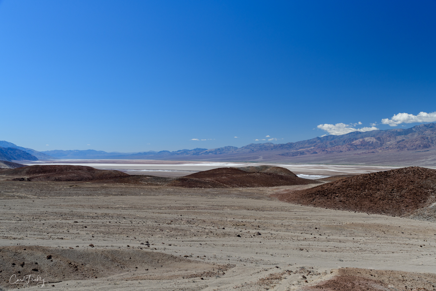
Looking south from the top of the hill one can see the salt deposits that form Badwater Basin.


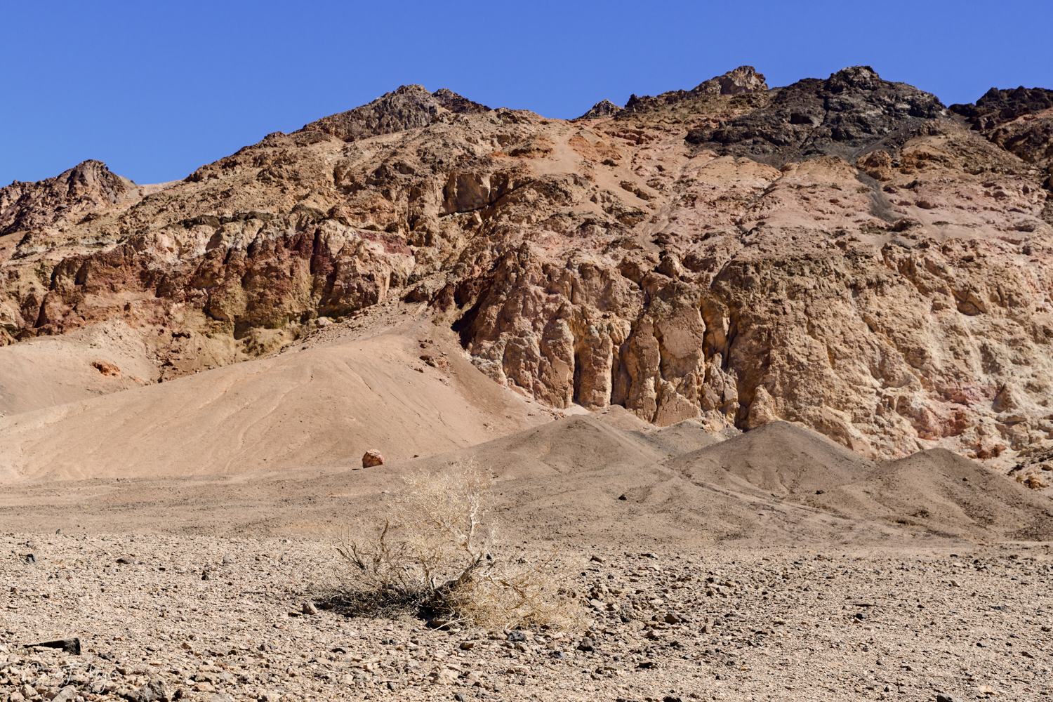
There are a few 'ordinary' images to be had along this loop, but they are few. Here is one.


I was not driving and clicking. The road is one way and traffic was light. Tom was my spotter and I took the opportunity to indulge in a middle of the road photograph! With a view like that . . . Whew! Took my breath away!


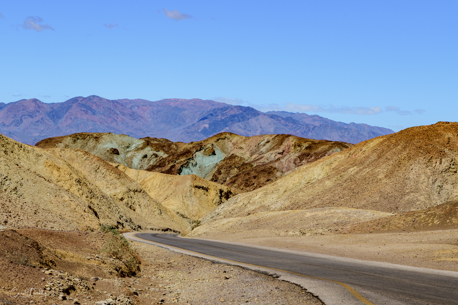


End of the loop ahead. What a drive!
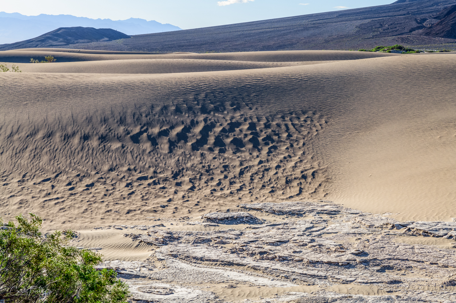
Tom and I use the expression, "You just can't make this stuff up!" Usually it is in reference to some article we read that has caused us to ponder at the folly of our fellow human beings. But, I have begun to think of this expression when confronted with a photo-adventure that defies an easy explanation, that is awesome in every way, that cannot be created in any software program that I know of, and that I could not have imagined before seeing it. Zabriskie Point and Artists' Palette are such places.