Big Pine Creek & Rock Creek Lake

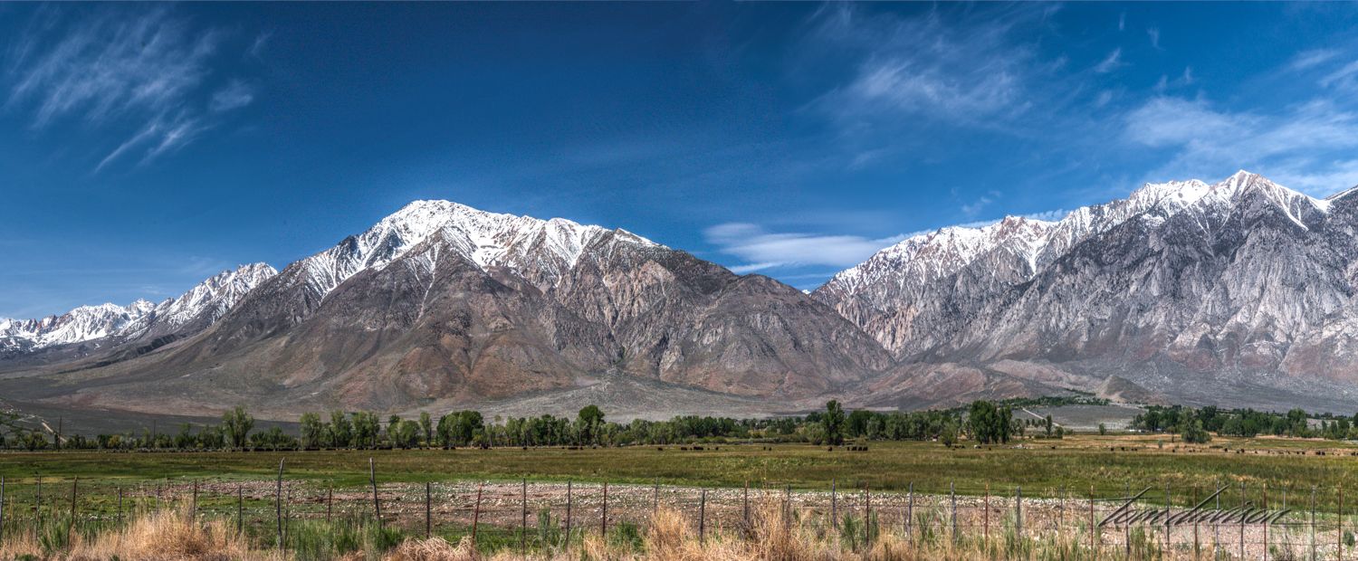
Big Pine Creek is a 12.1-mile-long stream that flows through Big Pine Canyon in the Sierra Nevada mountains near Bishop down to the Owens Valley, where it is a major tributary of the Owens River near Big Pine. The canyon is heralded for having both the largest and southern most glaciers in the Sierra Nevada mountains.  You can see the impact of glaciers in the shape of the mountains that surround the canyon at the end. Rock Creek Lake is also located near Bishop and flows from Rock Creek Lake.  Both destinations are very popular for their trout, including brown, rainbow and brook trout. Hikers, bikers and campers make good use of just about every space available during spring, summer and fall.

Looking towards the back of the canyon.  The creek runs along the right side.

Looking towards the back of the canyon.  The creek runs along the right side.

Rock Creek Lake-7.jpg
Rock Creek Lake-9.jpg
Pine Creek-3.jpg
Rock Creek Lake-13.jpg
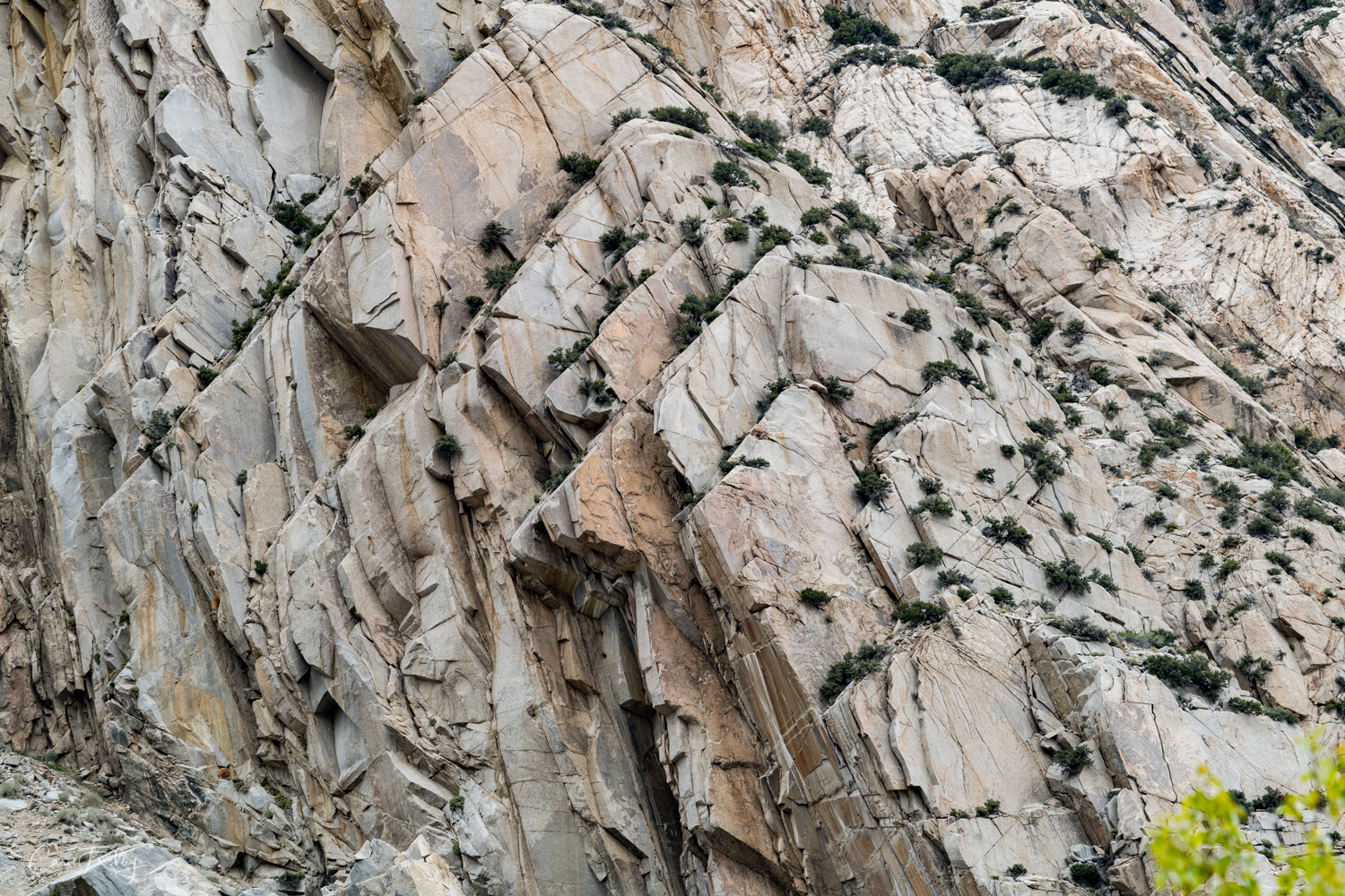
Pine Creek runs through a narrow canyon.  The walls of rock were fascinating.

Pine Creek runs through a narrow canyon.  The walls of rock were fascinating.

Pine Creek-5.jpg
Pine Creek-6.jpg
Rock Creek Lake-16.jpg
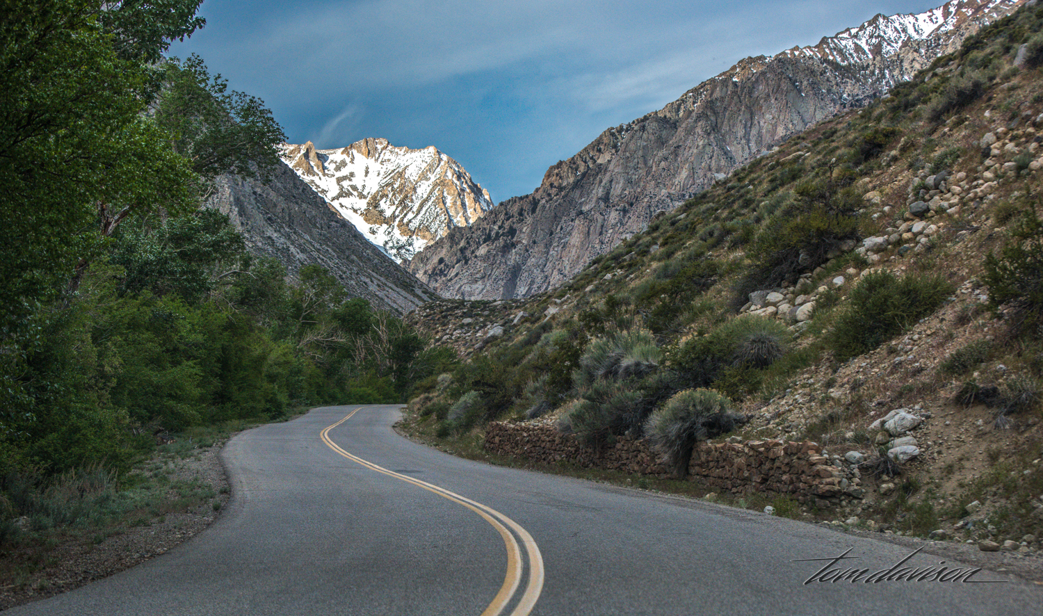
We drove the road as far as we could to a trailhead.  At that point we turned around and drove to our next destination, Rock Creek Lake.

We drove the road as far as we could to a trailhead.  At that point we turned around and drove to our next destination, Rock Creek Lake.

Rock Creek Lake-18.jpg
Rock Creek Lake-20.jpg
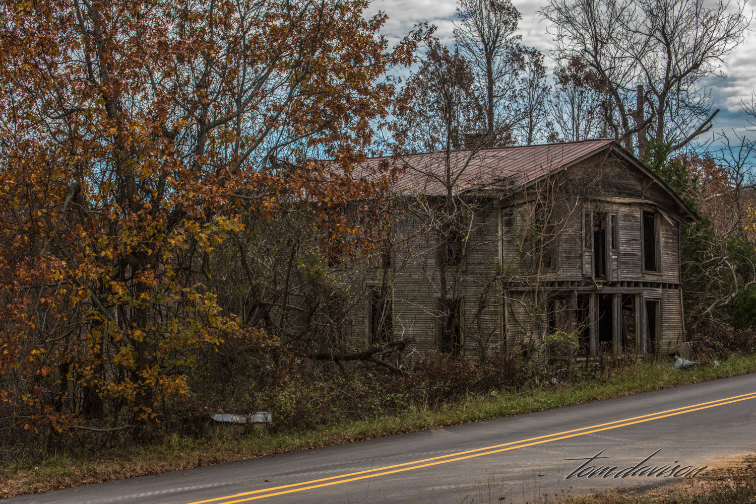
There are lots of ranches in the area.

There are lots of ranches in the area.

This old stable caught my attention.

This old stable caught my attention.

Rock Creek Lake-23.jpg
Pine Creek-12.jpg
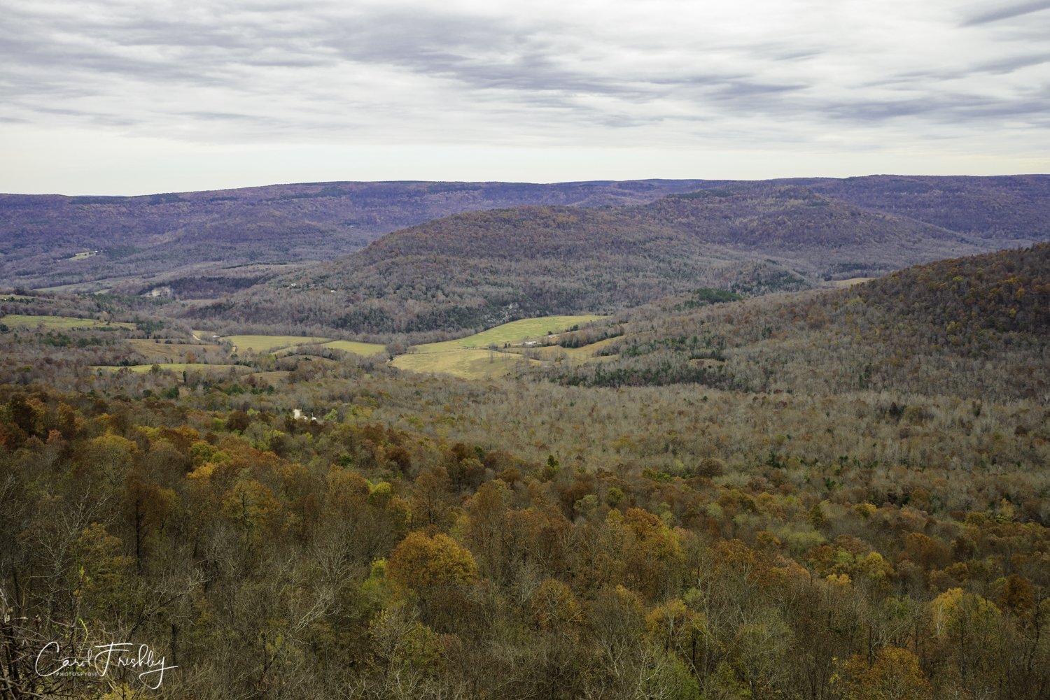
A scenic lookout stop.

A scenic lookout stop.

Rock Creek Lake-26.jpg
Rock Creek Lake is not too far up the road.  It is still partially iced over and the strong winds cause the patterning you see from above.

Rock Creek Lake is not too far up the road.  It is still partially iced over and the strong winds cause the patterning you see from above.

Down lower, on the lake's edge, the patterns are not as discernible.

Down lower, on the lake's edge, the patterns are not as discernible.

Rock Creek Lake-33.jpg
Fisherman at Rock Creek Lake.  Very happy to have his photograph taken!

Fisherman at Rock Creek Lake.  Very happy to have his photograph taken!

On the way home at the same scenic viewpoint.

On the way home at the same scenic viewpoint.

Rock Creek Lake-38.jpg
Rock Creek Lake-39.jpg
I decided to put all the road photographs at the end.  Don't get carsick!

I decided to put all the road photographs at the end.  Don't get carsick!

Rock Creek Lake-2.jpg
Rock Creek Lake-3.jpg
Rock Creek Lake-4.jpg
Rock Creek Lake-5.jpg
Rock Creek Lake-19.jpg
Rock Creek Lake-6.jpg
Rock Creek Lake-28.jpg
Rock Creek Lake-29.jpg

Road Trip

We picked a road trip from Tim Ernst's book entitled Arkansas Nature Lover's Guidebook: How to Find 101 Scenic Areas in the "Natural State" . He called it the Falling Water Scenic Drive because it follows Falling Water Creek on the edge of the Richland Creek Wilderness Area. Driving on this 1.5 lane dirt road could lead you past multiple waterfalls, albeit in some seasons they are not as remarkable as others.  We did not expect much, if any, water as this part of Arkansas had little rain over the summer and into fall.  But, we wanted a road trip and after about 250 miles we returned home satisfied with our day.

We started  at the crack of dawn and had fog most of the drive until we got to Falling Water Creek.  The fog started to lift as we drove along the creek.

We started  at the crack of dawn and had fog most of the drive until we got to Falling Water Creek.  The fog started to lift as we drove along the creek.

TD Road Trip (300 of 21).jpg
We passed through several small towns.  This one, in particular, has seen better days.  It says a lot when Main Street dead ends!

We passed through several small towns.  This one, in particular, has seen better days.  It says a lot when Main Street dead ends!

TD Road Trip (302 of 21).jpg
TD Road Trip (304 of 21).jpg
TD Road Trip (305 of 21).jpg
Tim gives excellent directions in all of his scenic drives.  Set your odometer when he tells you and it is within a 0.1 mile tolerance.  I kept asking Tom, as he was on the creek side, "Do you see any water down there?"  "Not yet!"

Tim gives excellent directions in all of his scenic drives.  Set your odometer when he tells you and it is within a 0.1 mile tolerance.  I kept asking Tom, as he was on the creek side, "Do you see any water down there?"  "Not yet!"

Having not seen any water, we were happy to see this trickle exactly where Tim told us to stop.  It turned out that if it looked like a car could park just barely off the road it was a spot worth hiking down to the creek and exploring.

Having not seen any water, we were happy to see this trickle exactly where Tim told us to stop.  It turned out that if it looked like a car could park just barely off the road it was a spot worth hiking down to the creek and exploring.

Flowing Water Road-4.jpg
TD Road Trip (307 of 21).jpg
TD Road Trip (309 of 21).jpg
TD Road Trip (310 of 21).jpg
The creek bed was interesting, even if the waterfall was not that impressive.

The creek bed was interesting, even if the waterfall was not that impressive.

Flowing Water Road-11.jpg
TD Road Trip (308 of 21).jpg
TD Road Trip (311 of 21).jpg
Flowing Water Road-12.jpg
Back on the road . . . It is hunting season here and this road was seeing more traffic than I would have imagined.  Hunters in camo in big pickups (they expected to bag a BIG one).  Some were on horseback.  I felt sort of OK in my bri…

Back on the road . . . It is hunting season here and this road was seeing more traffic than I would have imagined.  Hunters in camo in big pickups (they expected to bag a BIG one).  Some were on horseback.  I felt sort of OK in my bright red pullover.  Tom was not dressed for safety so I wanted him close by.

While there was not much water, it did pool in places and that provided some opportunities to capture a nice image.

While there was not much water, it did pool in places and that provided some opportunities to capture a nice image.

TD Road Trip (316 of 21).jpg
Flowing Water Road-15.jpg
TD Road Trip (314 of 21).jpg
TD Road Trip (315 of 21).jpg
Flowing Water Road-18.jpg
TD Road Trip (313 of 21).jpg
This spot is called Six Finger Falls.  I suspect that when the water is running at higher levels this spot would become a 'die for image'.

This spot is called Six Finger Falls.  I suspect that when the water is running at higher levels this spot would become a 'die for image'.

Flowing Water Road-21.jpg
Flowing Water Road-22.jpg
About mid-afternoon we decided we had explored enough and we were hungry.  I had not packed a lunch.  Decision, decision, head back (long way before food) or drive on 25 miles more toward Jasper.  We opted for Jasper

About mid-afternoon we decided we had explored enough and we were hungry.  I had not packed a lunch.  Decision, decision, head back (long way before food) or drive on 25 miles more toward Jasper.  We opted for Jasper

Just seven miles shy of Jasper we found this lovely restaurant.  The parking lot, in the middle of the afternoon was overflowing.  Must be good, we thought.  We parked illegally and rushed in.  We waited 30 minutes for a table.&n…

Just seven miles shy of Jasper we found this lovely restaurant.  The parking lot, in the middle of the afternoon was overflowing.  Must be good, we thought.  We parked illegally and rushed in.  We waited 30 minutes for a table.  The food was awesome!!!!  We later found out that the Cliff House was listed in the top ten restaurants in Arkansas.  We agree!

The wind was howling and it was cold but I wanted a panoramic scene from the balcony.  This is looking left.

The wind was howling and it was cold but I wanted a panoramic scene from the balcony.  This is looking left.

Looking right.

Looking right.

Down the middle.

Down the middle.

Neither of us had taken our cameras in to the restaurant.  Before we got back into the car Tom said, "I just have to get one shot."  You know how that goes.  LOL

Neither of us had taken our cameras in to the restaurant.  Before we got back into the car Tom said, "I just have to get one shot."  You know how that goes.  LOL

On the road home.  This particular photograph reminds me of the hundreds of miles we drove while staying in Mountain View.

On the road home.  This particular photograph reminds me of the hundreds of miles we drove while staying in Mountain View.

Ramsey Canyon

Ramsey Canyon is referred to as the 'hummingbird capital of the world'.  Its tall canyon walls and presence of Ramsey Creek keep it cooler than the surrounding desert and an ideal place for wildlife, especially birds. There are 15 different varieties of hummingbirds that can be found here.   Ramsey Canyon is part of The Nature Conservancy’s international conservation program cooperates with several agencies to both preserve and better understand fire management, stream restoration, and protection of rare species.  When we arrived, just as the Information Center opened, it was very cold!  We were hoping for some fall color and were surprised at just how brilliant some of the trees were.  It was probably just past 'peak' but we took it all in!  For the birders in our group, we were told that two Trogon males had been spotted in the area.  We, of course did not see them.

You walk under this branch to start walking up the trail.

Resting areas with benches and chairs (even some rocking) makes it easy to simply sit and enjoy the beauty around you.

I believe this is a Coues deer.  We spotted several of them at different times as they came down to the creek to get water.

For Rick.

Interesting root!

Taken with iPhone 7+

How does Greg find images like this?  I expect these creatures to move at any moment!

Remnants of an old house.  Greg and Ann hiked much further up the trail than Tom and I.  They reported that beyond the first loop the fall color dropped off dramatically.

This is Greg's image.

Taken with iPhone 7+

Taken with iPhone 7+

Haha!  My neck curved like this tree trunk as I tried to turn it right side down . . . or up!

It was warmer as we walked back out of the Information Center.

We had our picnic lunch at this creek side table.