Sylamore Loop covers an area we wanted to explore for photographing what we fondly referred to as Ozark Gold. We found this loop described on the internet. It had the advantage of giving significant information of the area, including road conditions, cell phone coverage, places to eat or shop for snacks and gas. It had some side trips (most of which we took) and it also was centrally located enough that we could go 'off the loop' and explore places like Petit Jean and Flowing Waters Creek. The images below are pretty much random images that did not easily fit in other blog posts. Blanchard Springs, Gunner Pond and Mountain View events were part of the Sylamore Loop experience but have been covered in previous posts. This covers Culp Loop, City Rock Bluff and side dirt roads that we just took a hankering to explore. Sylamore is the name of a prominent creek that is part of the National Scenic River Corridor.
Our favorite restaurant for catfish was JoJo's. It sits right on the White River which runs through a good portion of the Sylamore Loop. They have a very active boathouse and offer services to from renting canoes to river tours. The White River is a strong contributor to the area's economy that relies heavily on tourism.
White Rive along the road from Mountain Home to Calico Rock.
As above. Arkansas is called the Natural State and residents are encouraged to get out and experience the outdoors. Picnic places with fishing piers are very common.
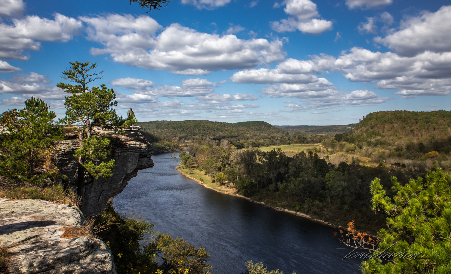
The guidebook indicated that to get to City Bluff you look for the glade alongside the road and to park in front of the sign that said nothing. Well, it took a bit of looking and then we remembered that a glade is on area of rocks. Aha! Here it is>
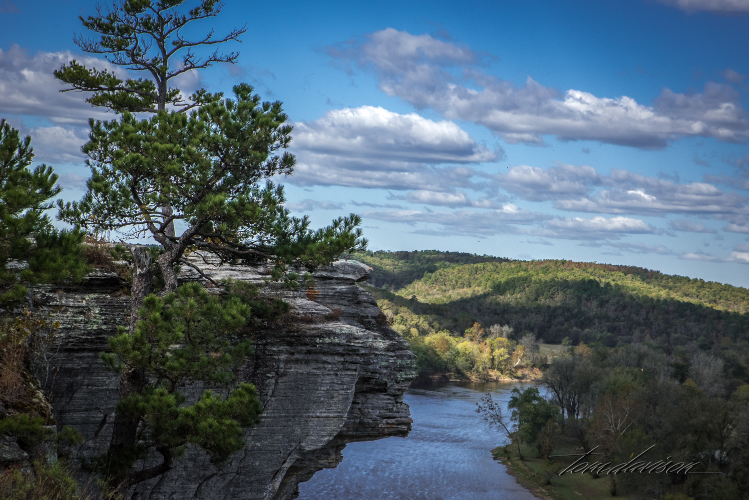
White River flowing below a bluff.
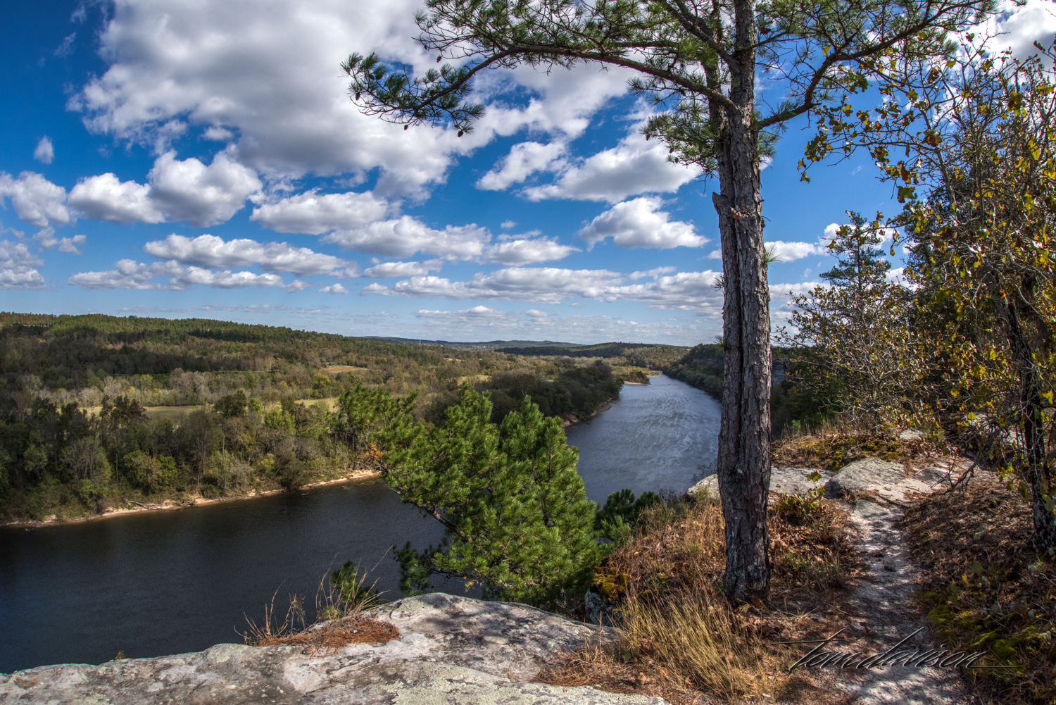
This is Fisheye Bend.
Roads like this were the norm. Small cattle farms dotted the landscape between forests.
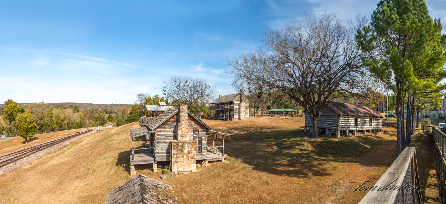
From Calico Rock we drove out of our way through Melbourne. We spotted this city park of a small town along the way. I have forgotten the name of the town. Tom hopped out and took the photographs while I talked to my sister on the phone. We are a team!
Hmmmmm. . . . this looked like a promising view for later fall color. But, things went from this to brown and fog was a constant challenge. We did not go back.
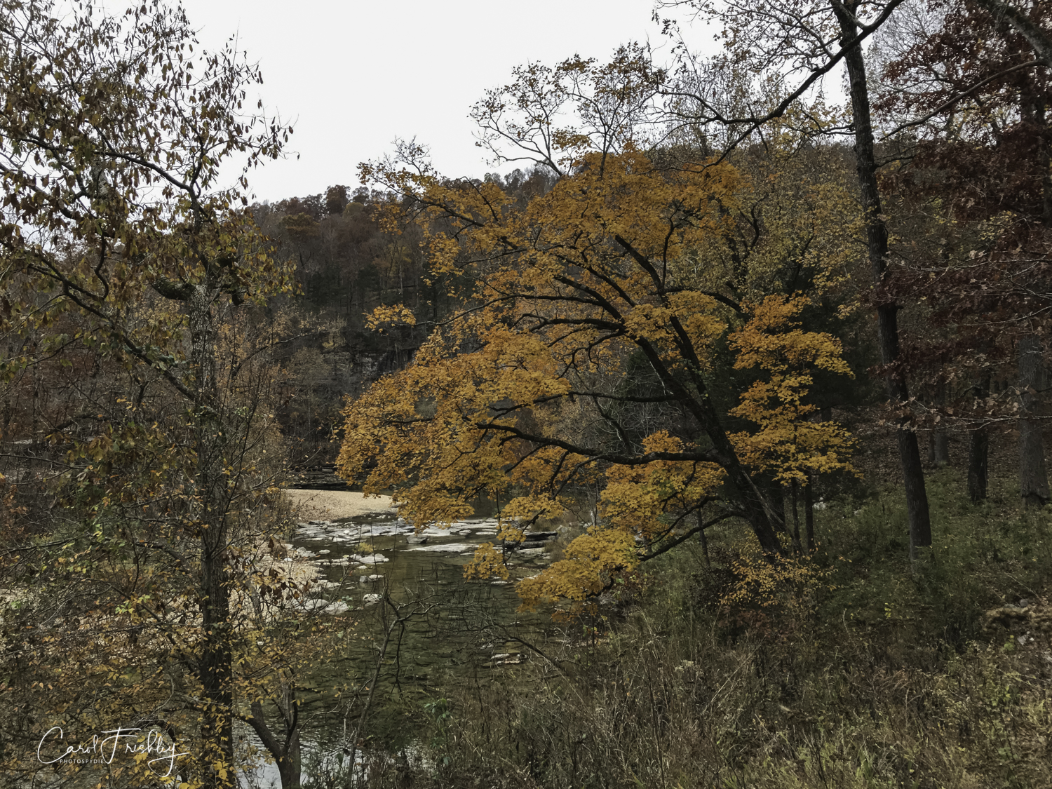
These three photographs were taken along South Sylamore Creek between Two Bridges.
Aha! A side road we had not explored. It was to a trail head and that usually meant a place to park and perhaps a trail to water.
See the birder by the fence. He was not taking photographs, rather he had a notebook and binoculars.
On the way back to pavement.
We have lots of photographs of signs. Some of the most interesting were in the ladies' restrooms. I cannot include them here as I would have to state that the post was for mature audiences!!
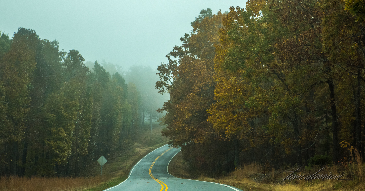
Curved roads are a way of life in this part of the world. As soon as you see sign stating 55 mph your see another one 20 feet away saying 25 mph for curve, followed by seven more curves and a sign warning you of a steep decline and so a drive goes. You can drive for miles and never see a break in the double yellow lines. It is common to get passed on a curve.


